Severe Thunderstorm Warning Issued for SW Laramie County
Severe Thunderstorm Warning
WYC001-021-270015-
/O.NEW.KCYS.SV.W.0177.180726T2328Z-180727T0015Z/
BULLETIN - EAS ACTIVATION REQUESTED
Severe Thunderstorm Warning
National Weather Service Cheyenne WY
528 PM MDT THU JUL 26 2018
The National Weather Service in Cheyenne has issued a
* Severe Thunderstorm Warning for...
Southeastern Albany County in southeastern Wyoming...
Southwestern Laramie County in southeastern Wyoming...
* Until 615 PM MDT.
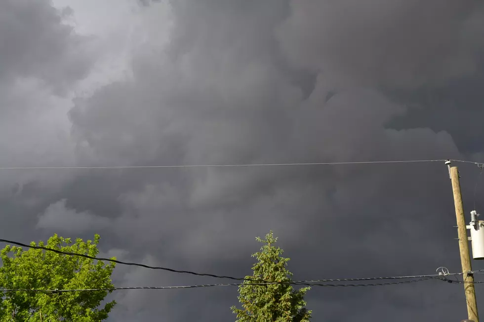
* At 528 PM MDT, a severe thunderstorm was located over Horse Creek,
or 22 miles east of Laramie, moving southeast at 30 mph.
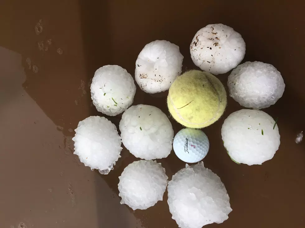
HAZARD...Two inch hail and 60 mph wind gusts.
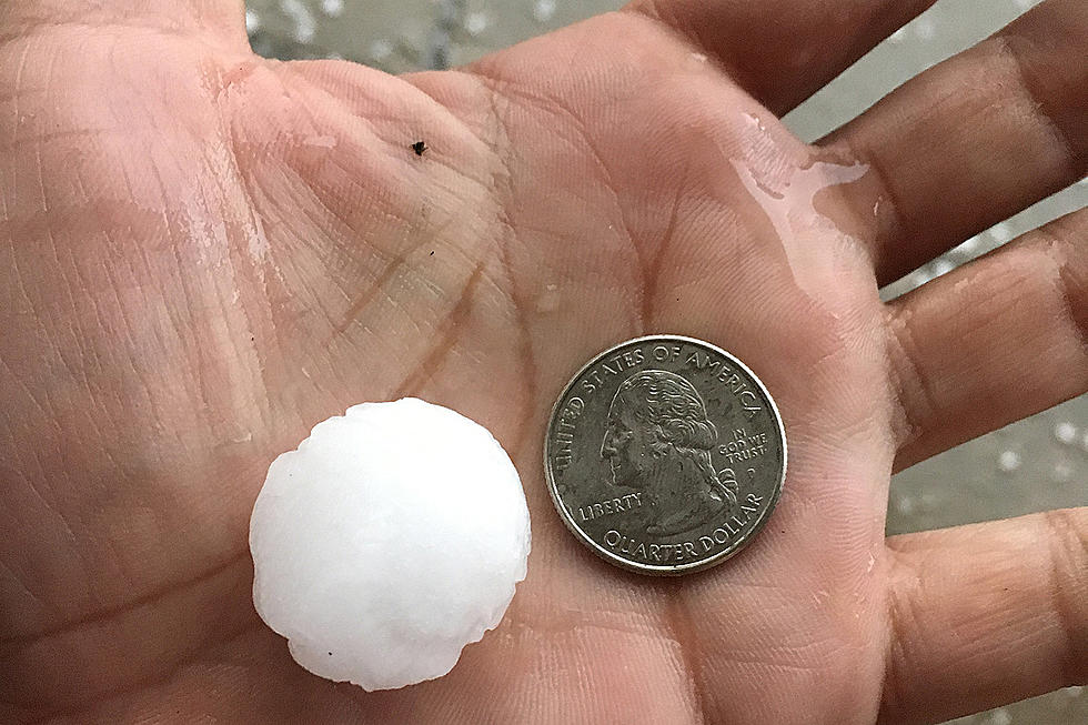
SOURCE...At 5:20 pm trained weather spotters reported golf ball
sized hail near Horse Creek..
IMPACT...People and animals outdoors will be injured. Expect hail
damage to roofs, siding, windows, and vehicles. Expect
wind damage to roofs, siding, and trees.
* This severe thunderstorm will be near...
Federal around 545 PM MDT.
Warren Af Base, Warren AFB and Frontier Park around 615 PM MDT.
This includes the following highways...
Interstate 25 in Wyoming between mile markers 10 and 21.
Interstate 80 in Wyoming between mile markers 347 and 359.
PRECAUTIONARY/PREPAREDNESS ACTIONS...
For your protection move to an interior room on the lowest floor of a
building.
This is a dangerous storm. Prepare immediately for large destructive
hail capable of producing significant damage. People outside should
move to shelter inside a strong building, and stay away from
windows.
&&
LAT...LON 4139 10529 4147 10515 4120 10468 4103 10504
TIME...MOT...LOC 2328Z 325DEG 25KT 4138 10517
HAIL...2.00IN
WIND...60MPH
$$
LyonsMore From KOWB 1290


![University of Wyoming Male Cheerleader Is Livin’ The Dream [VIDEO]](http://townsquare.media/site/98/files/2018/07/hqdefault4.jpg?w=980&q=75)

![Cheyenne Frontier Days Rodeo: Barrel Racer Alison Miller [VIDEO]](http://townsquare.media/site/101/files/2018/07/Allison_Miller.png?w=980&q=75)
![Cheyenne Frontier Days Rodeo Trick Riders [VIDEO]](http://townsquare.media/site/101/files/2018/07/Riata_Ranch.png?w=980&q=75)