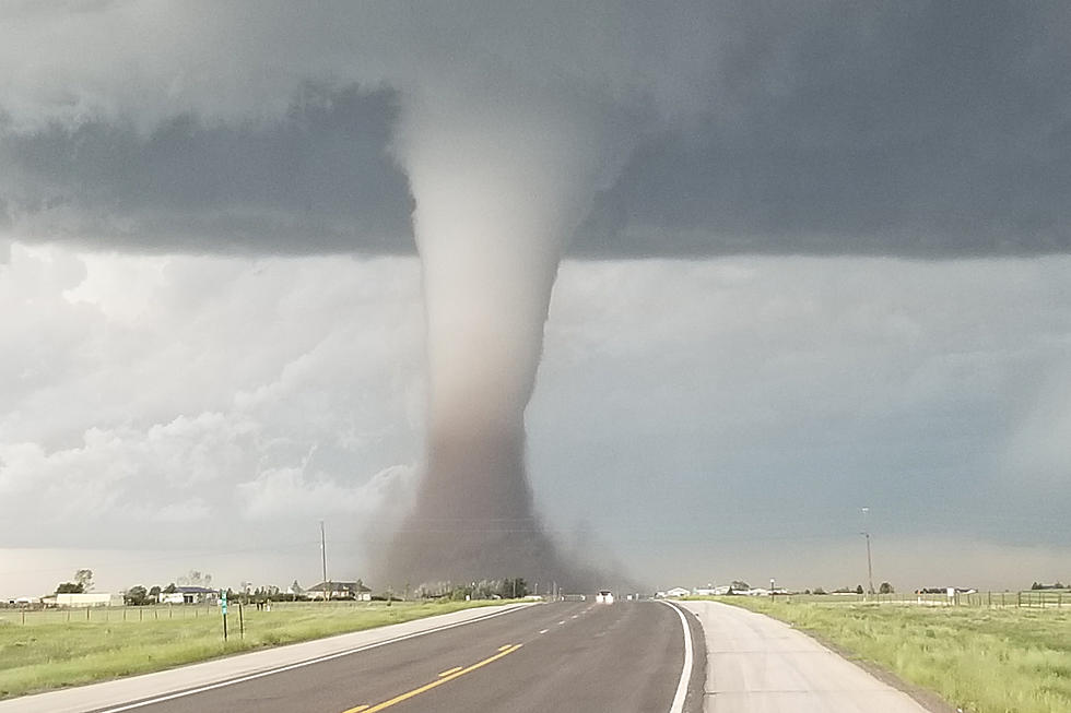
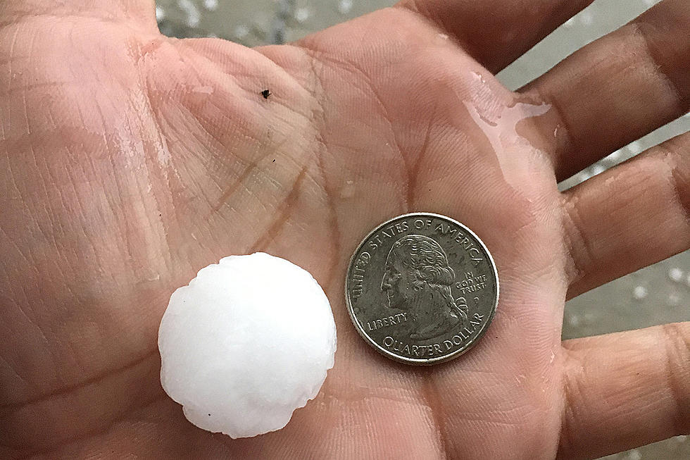
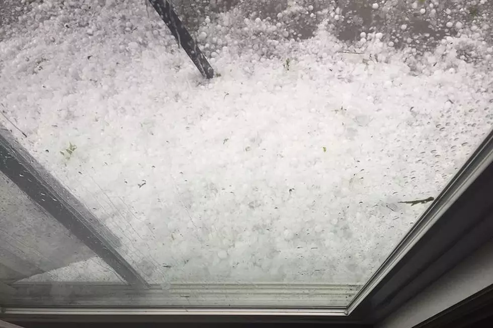
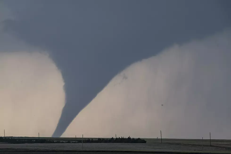
The Cheyenne National Weather Service office says more tornadoes, as well as large hail, are possible in Southeast Wyoming and the Nebraska Panhandle again on Memorial Day Monday.

Several twisters were reported in Laramie County Sunday, causing some property damage, but no serious injuries or deaths.

NWS Senior Meteorologist Jared Allen released the following situation report early Monday:

  • "An Enhanced Risk of strong to severe storms is in place for portions of Southeast Wyoming and portions of the Nebraska Panhandle this afternoon and evening. 
  • Strong to severe storms will be likely this afternoon and early evening. Best chances will be across eastern Wyoming, as well as the western Nebraska Panhandle.
    • Hazards for today include:
      • Large hail from golf ball to tennis ball size
      • Straight-line winds of up to 60-70 mph
      • A few tornadoes possible
  • Flash flood threat will increase later this afternoon and evening as slow-moving thunderstorms produce torrential rainfall. Locally up to 1-3" of rain will be possible from any given thunderstorm.
    • Areas in Nebraska Panhandle will be especially vulnerable given the recent rainfall amounts since yesterday.
  • A marginal risk of isolated strong to severe storms will occur Tuesday afternoon. "

More From KOWB 1290