Cheyenne NWS Releases Report On August Hail Storms
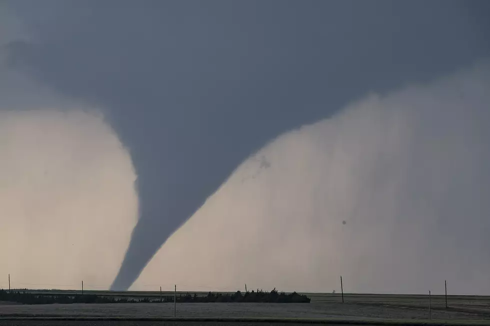
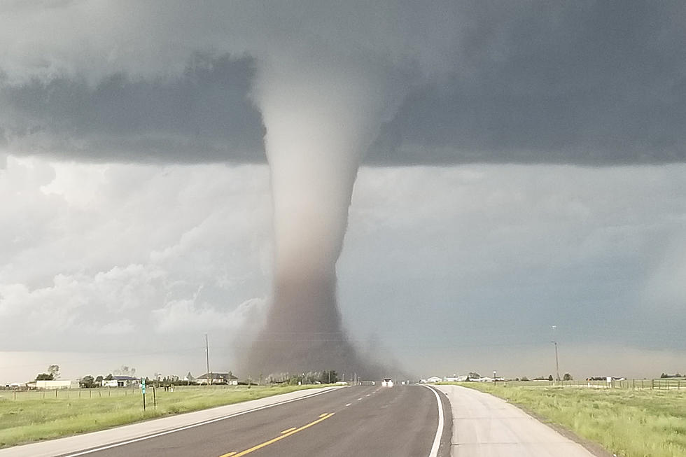
The Cheyenne Office of the National Weather Service has released its report on hailstorms on August 15 and 16 that hit eastern Wyoming and the Scottsbluff, Neb. area.
The agency posted the following report on its website:
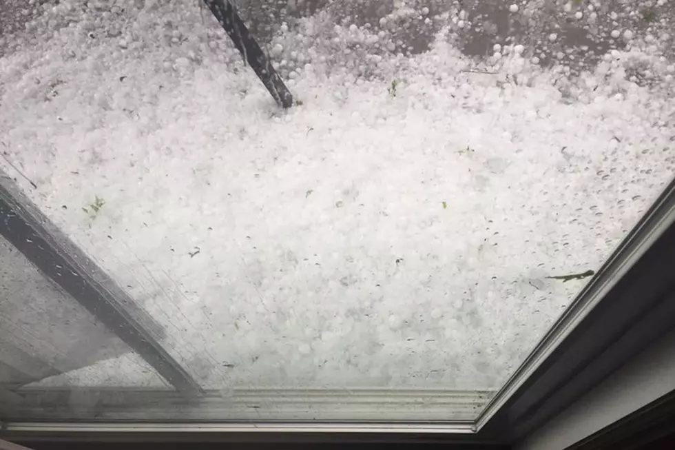
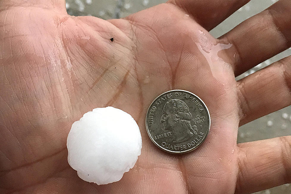
''Multiple rounds of thunderstorms with large hail impacted portions of eastern Wyoming and the Nebraska Panhandle on 15 August 2019, especially in Scottsbluff, NE. A severe thunderstorm developed early in the afternoon near Lusk, WY around 1 PM MDT and continued to move across the region until it finally weakened south of Sidney, NE. Along the way, the storm had a history of producing large hail including golf ball to baseball size hail for much of Scottsbluff around 3:30 PM MDT. The National Weather Service received reports of broken house windows, cracked vehicle windshields, and damaged crops with the hail after providing a 25 minute lead time for the Scottsbluff area.
The second round of thunderstorms began developing near Casper, WY around 8:30 PM MDT and continued through the Nebraska Panhandle well into the early morning hours on the 16th of August. One of the thunderstorms dropped baseball size hail 5 miles south of Guernsey, WY around 12:05 AM MDT and was headed towards the Scottsbluff area. For a second time in 10 hours, Scottsbluff was hit with significant hail with sizes ranging from 1.5 to 2.0 inch diameter stones around 1:45 AM MDT with a 44 minute lead time provided by the National Weather Service.''
More From KOWB 1290


![Hurricane Michael: 4th Strongest Storm to Strike U.S. [UPDATING]](http://townsquare.media/site/757/files/2018/10/GettyImages-1051836988.jpg?w=980&q=75)


![Active Weather Seen Across Albany County Tuesday [VIDEO] [PHOTOS]](http://townsquare.media/site/106/files/2018/06/Hail-in-Rock-River-6-19-18.jpg?w=980&q=75)
