Wyoming Smoke Forecast Map
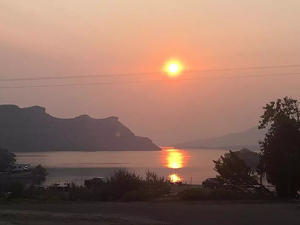
It's been another bad year for smoke. Not just in Wyoming but across the entire United States.
This invokes several questions: where is it all coming from and where is it all going? Also, how bad will it be today?
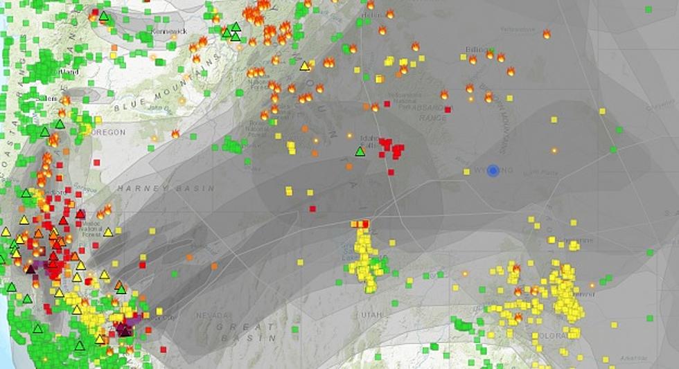
There are many smoke and fire maps out there. I just found a good one for you AT THIS LINK. Give it a moment to load then click where it is asking for the region. Enter where you want it to focus on, You can zoom in on a state or an entire region, even your town. The map shows the layers of smoke and where the fires are. BUT HANG ON THERE IS MORE.


As for where the smoke is going, one of my favorite weather websites is called WINDY. This website provides a lot of information but in the case of fires, it will show you how the air is moving and, therefore, where the smoke is coming from and going to.
As for where this current smoke is going, there is a problem...
Don Day of Day Weather is based here in Wyoming. He has been tracking this problem and says that a high-pressure system has stalled over the region. That's trapped a lot of smoke from farther west in our area. Until that system moves out we are stuck in this pattern.
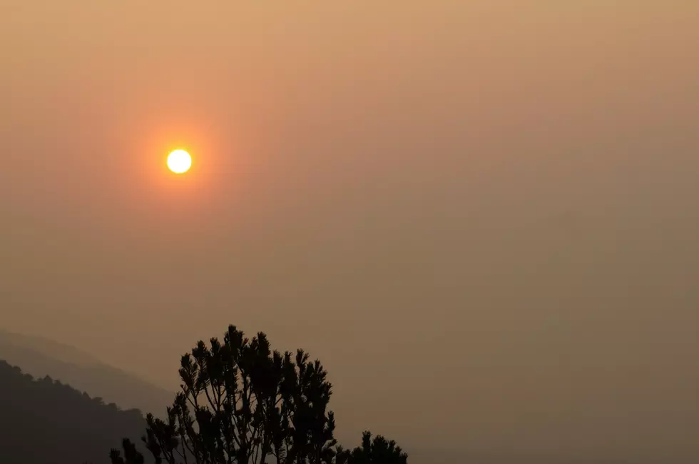
The good news is that we are getting the occasional rain shower and a cool system will soon try to push into the area. Rain scrubs the smoke from the sky and a cool front will push some of it out.
Pictures of the Stunning Popo Agie Wilderness Area in Wyoming
The Hidden Treasures Of Wyoming's Natural Bridge
Gallery Credit: Glenn Woods
More From KOWB 1290