See Where All This Wyoming Smoke Is Coming From
This is going to be one of the smokiest days yet for Wyoming. Not a single part of our state is going to miss it.
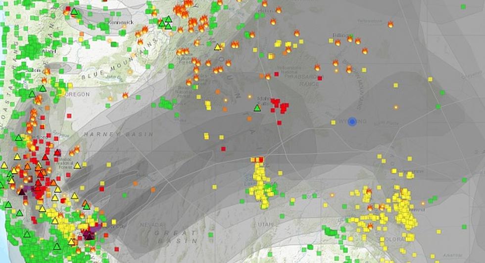
Looking at the map above you can see where it's all coming from. You can also see how the winds aloft are carrying that smoke across the nation.
There is no way to climb above it. It's from ground level up to and beyond where the jet planes fly.

There is no getting away from it even if you try to stay inside. Though filtered air through your air-conditioned is certainly helpful. Check those filters and change them often.
If you would like to track the smoke, there are a couple of websites and apps that I can offer you.
The first one is where I got the above image. It provides a few of the layers of smoke over us, where it's coming from, and how it's moving. Use this link to find the smoke map website.
Next is a website and app called WINDY. This app does a lot if you love watching the weather. But one of my favorite features is from its own name, it watches the wind. Windy provides a visual of how the air is moving at different altitudes so you can see where the smoke should be going. You can find the WINDY site here.

"Smoke from wildfires across the western US will continue to filter into western and central Wyoming through Wednesday," one of the alerts reads. "The smoke may limit visibility at times and create poor air quality."
Casper Mountain, for example, is barely visible from downtown Casper.
The Wyoming Department of Health recommends that "(T)he elderly, young children and individuals with respiratory problems avoid excessive physical exertion and minimize outdoor activities during this time.
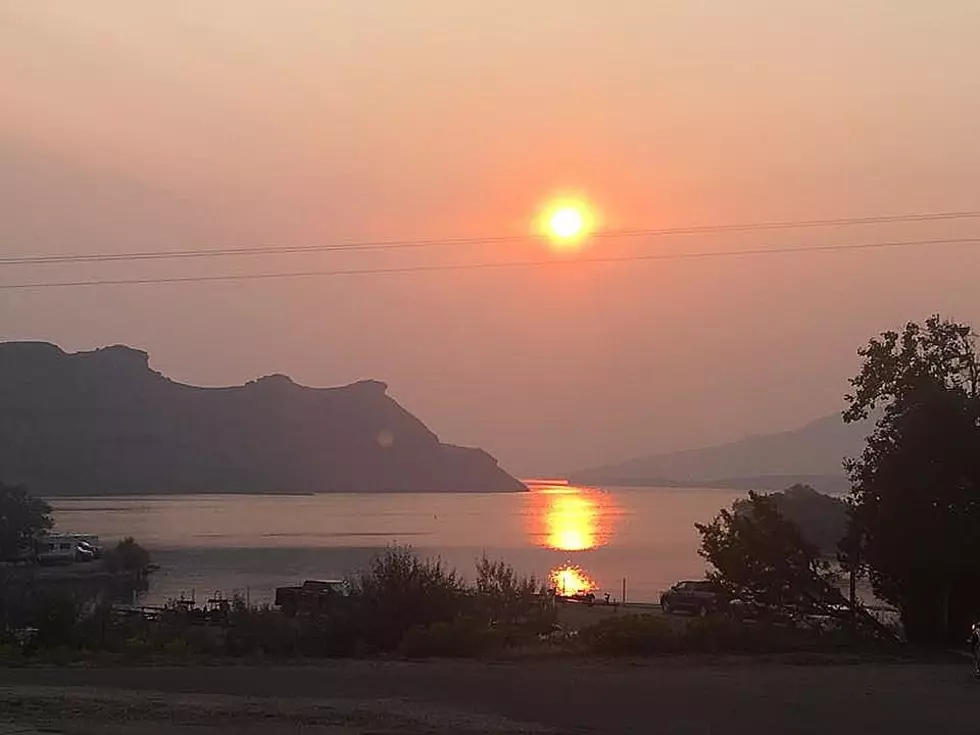
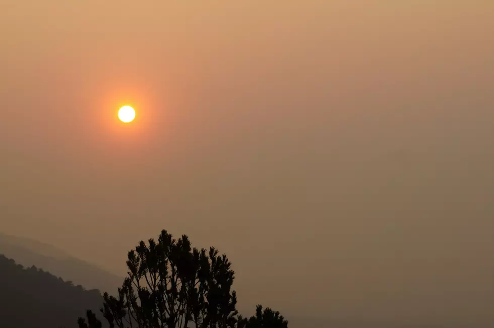
It's been so hazy this summer that at times we can't see the mountains in our own backyard. Some of our most beautiful drives have been hazed out.
DO YOU REMEMBER WHAT WYOMING LOOKS LIKE WITHOUT SMOKE?
Imagine driving past Elk Mountain on I-80, knowing it's there, but almost not being sure you see it.

Imagine driving up I-25 along that section where the Laramie Range or the Big Horn Mountain Range fill the side windows and not being able to see them, or maybe just seeing an outline of them.
Out toward Independence Rock or Rock Springs for that matter, the windshield is filled with sharp peaks in the distance. But this summer it's been nothing but a milky haze.

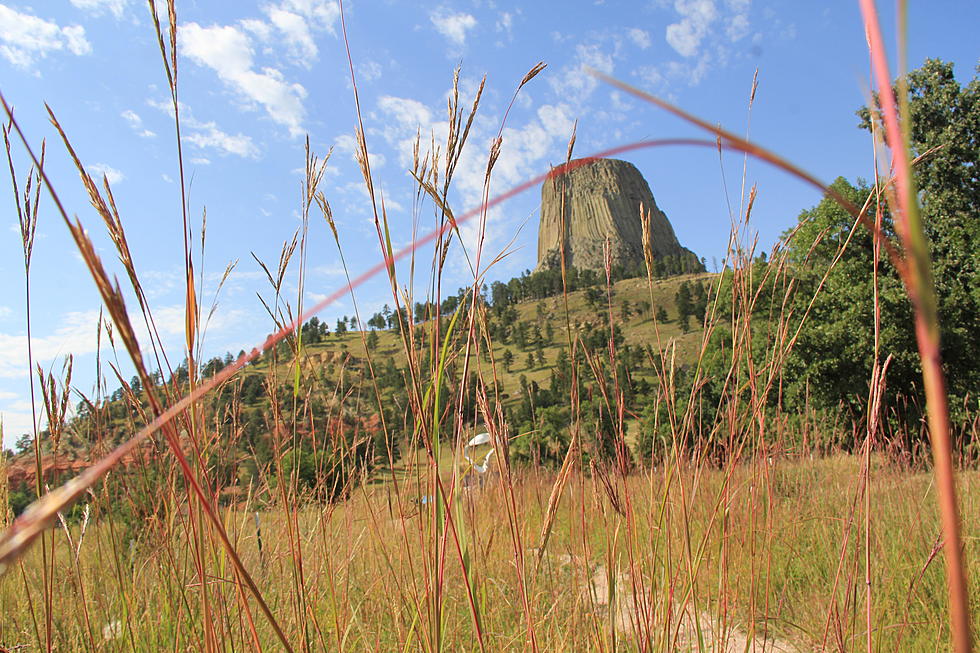
Even sitting at the base of Devils Tower was a little disappointing. The eyes would water as folks strained to see through the soot in the air.
Well, I just wanted to remind you that it's all still out there and it's as beautiful as ever.
At some point, this fire season will come to an and we will all enjoy what makes us love Wyoming once again.
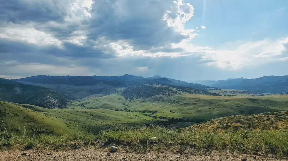
Until then here are just a few reminders of what is out there and why you love looking at one of the most beautiful states God ever created.
The Hidden Treasures Of Wyoming's Natural Bridge
Gallery Credit: Glenn Woods
Driving Wyoming's Badwater Road
Gallery Credit: Glenn Woods
Wyoming Spring Fever
Gallery Credit: Glenn Woods
MUST SEE: 7 Wyoming Waterfalls Worth a Road Trip
More From KOWB 1290