Blizzard Warning: Parts Of Wyoming Nebraska
National Weather Service Cheyenne WY
4:20 AM MDT Tue Mar 17 2020
March 16th Afternoon Update: A Winter Storm Watch is in effect for most of southeast Wyoming and all of western Nebraska starting Wednesday night and continuing through Thursday night. Moderate to heavy snow, strong gusty winds, and significant travel impacts are expected through Thursday night. Snow accumulations of 6+ inches are possible across this area. We will post specific snow accumulations at a later time as confidence increases with this event.
WINTER WEATHER ADVISORY IN EFFECT FROM 9 PM WEDNESDAY TO 10 AM
MDT THURSDAY...
BLIZZARD WARNING IN EFFECT FROM 10 AM THURSDAY TO 6 AM MDT
FRIDAY...
Areas include:
Converse County Lower Elevations-Niobrara County-
East Platte County-Goshen County-South Laramie Range Foothills-
Central Laramie County-East Laramie County-
Including the cities of Bill, Douglas, Deer Creek, Glenrock,
Lusk, Redbird, Wheatland, Guernsey, Torrington, Whitaker,
Federal, Horse Creek, Cheyenne, and Pine Bluffs
420 AM MDT Tue Mar 17 2020
Kimball County-Cheyenne-North Sioux-South Sioux-
Including the cities of Chadron, Chadron St Park, Alliance,
Scottsbluff, Gering, Harrisburg, Angora, Bridgeport, Bayard,
Redington, Kimball, Brownson, Sidney, Harrison, and Agate
...MAJOR WINTER STORM TO BRING WIDESPREAD SNOW...WIND...AND
TRAVEL IMPACTS TO SOUTHEAST WYOMING AND NEBRASKA PANHANDLE
BEGINNING WEDNESDAY AFTERNOON THROUGH FRIDAY...
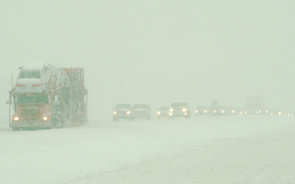
* WHAT...For the Blizzard Warning, blizzard conditions expected.
Total snow accumulations of 4 to 6 inches and ice
accumulations of a light glaze. Winds gusting as high as 50
mph. For the Winter Weather Advisory, mixed precipitation
expected. Total snow accumulations of up to two inches and ice
accumulations of a light glaze. Winds gusting as high as 40
mph.
* WHERE...Entire western Nebraska Panhandle...including
Harrison...Chadron...Alliance...Scottsbluff...Kimball and
Sidney.
* WHEN...For the Blizzard Warning, from 10 AM Thursday to 6 AM
MDT Friday. For the Winter Weather Advisory, from 9 PM
Wednesday to 10 AM MDT Thursday.
* IMPACTS...Areas of blowing snow could significantly reduce
visibility. Conditions will be hazardous to livestock and
newborn calves. Travel could be very difficult. The hazardous
conditions could impact the morning or evening commute.
More From KOWB 1290