NWS Cheyenne: Heavy Snow Saturday, Another Round Wednesday
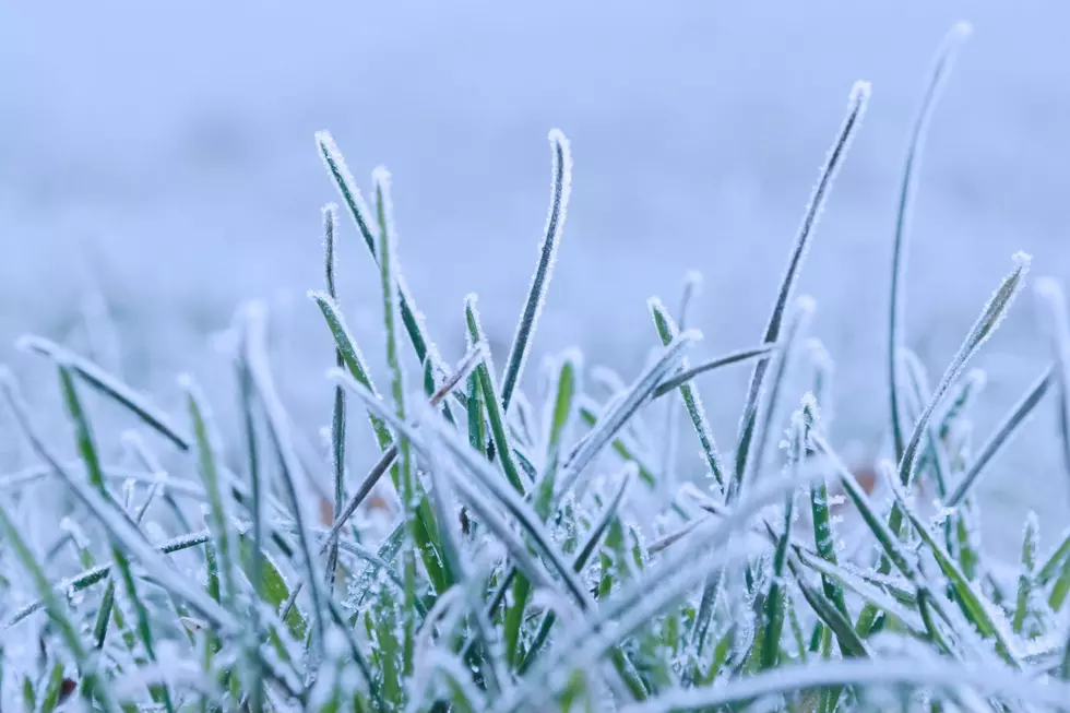
Heavy snow is expected to blanket much of southeast Wyoming this weekend, with the mountains seeing as much as 18 inches.
"Looking to be a snowy and cold weekend with the heaviest snow expected Saturday morning," the National Weather Service in Cheyenne said.
"Lingering snowfall is expected Sunday with light accumulations of a couple inches possible outside of the Snowy and Sierra Madre Mountains where higher amounts are likely," the NWS added.
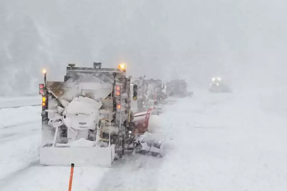
Winter Storm Warnings are in effect for the Sierra Madre, Snowy, and south Laramie ranges from 5 p.m. this afternoon through 5 p.m. Sunday.
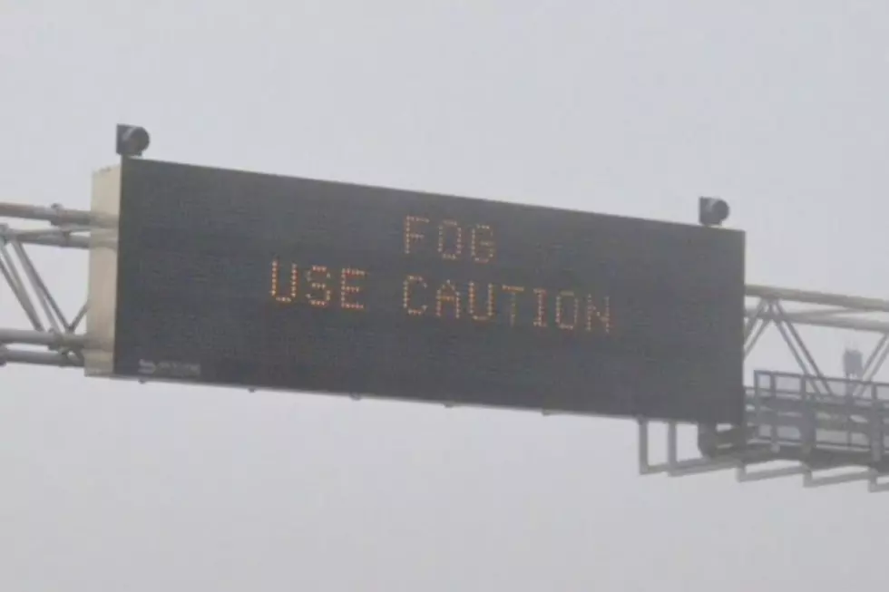
URGENT - WINTER WEATHER MESSAGE
National Weather Service Cheyenne WY
230 AM MST Fri Mar 4 2022

WYZ112-114-050000-
/O.UPG.KCYS.WS.A.0004.220305T0000Z-220307T0000Z/
/O.NEW.KCYS.WS.W.0004.220305T0000Z-220307T0000Z/
Sierra Madre Range-Snowy Range-
Including the cities of Centennial and Albany
230 AM MST Fri Mar 4 2022

...WINTER STORM WARNING IN EFFECT FROM 5 PM THIS AFTERNOON TO
5 PM MST SUNDAY...

* WHAT...Heavy snow expected. Total snow accumulations of 12 to 18
  inches.

* WHERE...Sierra Madre Range and Snowy Range.

* WHEN...From 5 PM this afternoon to 5 PM MST Sunday.

* IMPACTS...Mountain travel will be very difficult or impossible
  due to icy, snow packed roads and low visibilities in falling
  and blowing snow. Outdoor recreation could be life threatening
  to those caught unprepared for severe winter conditions.

PRECAUTIONARY/PREPAREDNESS ACTIONS...

If you must travel, keep an extra flashlight, food, and water in
your vehicle in case of an emergency.

Use caution while traveling outside. Wear appropriate clothing,
knit hat, and mittens.

The latest road conditions for the state you are calling from can
be obtained by calling 5 1 1.
URGENT - WINTER WEATHER MESSAGE
National Weather Service Cheyenne WY
230 AM MST Fri Mar 4 2022

WYZ116-050000-
/O.UPG.KCYS.WS.A.0004.220305T0300Z-220306T0000Z/
/O.NEW.KCYS.WS.W.0004.220305T0000Z-220307T0000Z/
South Laramie Range-
Including the cities of Buford, Pumpkin Vine, and Vedauwoo
230 AM MST Fri Mar 4 2022

...WINTER STORM WARNING IN EFFECT FROM 5 PM THIS AFTERNOON TO
5 PM MST SUNDAY...

* WHAT...Heavy snow expected. Total snow accumulations of 8 to
  14 inches.

* WHERE...South Laramie Range including the Interstate 80 Summit.

* WHEN...From 5 PM this afternoon to 5 PM MST Sunday.

* IMPACTS...Travel will be very difficult or impossible due to
  icy, snow packed roads and low visibilities in falling and
  blowing snow.

PRECAUTIONARY/PREPAREDNESS ACTIONS...

If you must travel, keep an extra flashlight, food, and water in
your vehicle in case of an emergency.

Use caution while traveling outside. Wear appropriate clothing,
knit hat, and mittens.

The latest road conditions for the state you are calling from can
be obtained by calling 5 1 1.
Forecasters say another round of snow and strong winds will be possible next Wednesday.

12 PM MST March 4th – Here's a quick look at the weather this weekend through the middle of next week! Looking to be a snowy and cold weekend with the heaviest snow expected Saturday morning. Lingering snowfall is expected Sunday with light accumulations of a couple inches possible outside of the Snowy and Sierra Madre Mountains where higher amounts are likely. Additionally, much colder weather is expected after a few days in the 60s this past week. Morning lows could even drop into the single digits through Tuesday. Looking ahead to Wednesday, another system looks to quickly pass through the area bringing our next chance for snowfall and strong winds to the area. Looks like colder air will persist through the end of the week behind Wednesday's system. For the latest local forecast, be sure to check weather.gov/cys
READ MORE:
The Worst Storms Of The Decade In Southeast Wyoming
More From KOWB 1290