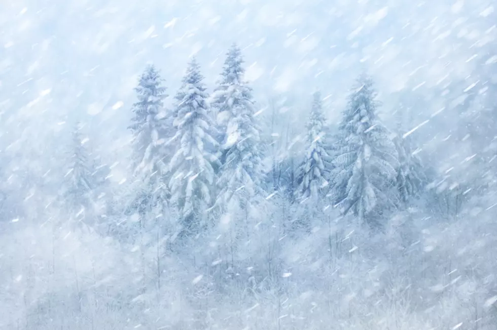
5-7 inches of Snow, 55 MPH Wind Gusts to Blast I-80 Summit
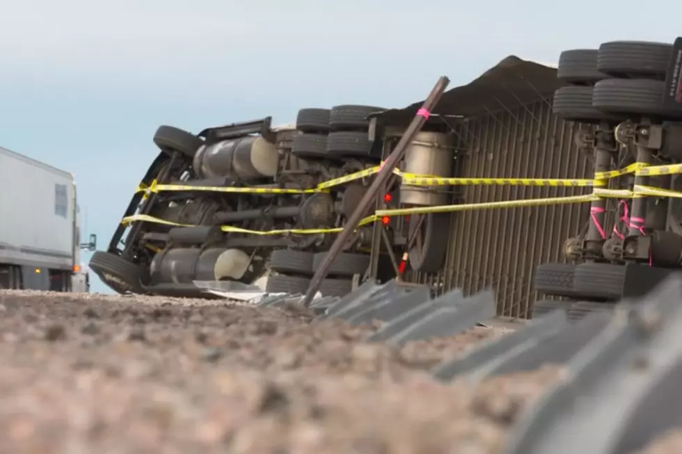
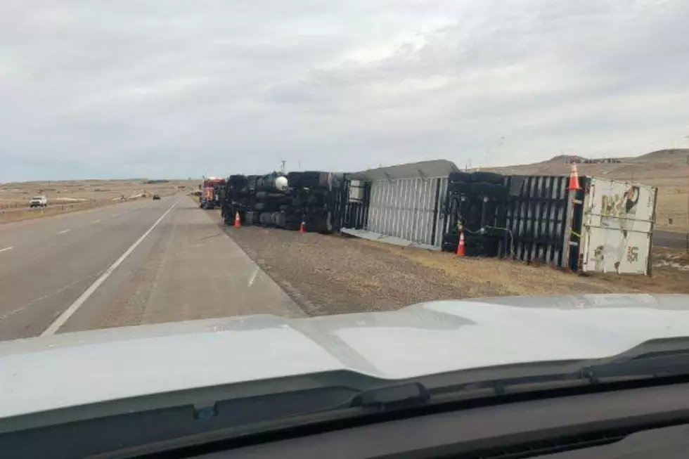
Five to seven inches of snow coupled with winds gusting as high as 55 mph could make for very difficult travel on Interstate 80 between Laramie and Cheyenne Thursday.
A Winter Storm Warning is in effect for the South Laramie Range, including I-80 between mile markers 320 and 345, from 11 p.m. tonight through 5 a.m. Friday.
URGENT - WINTER WEATHER MESSAGE
National Weather Service Cheyenne WY
1234 PM MST Wed Nov 16 2022

WYZ116-171200-
/O.UPG.KCYS.WW.Y.0029.221117T0600Z-221118T1200Z/
/O.NEW.KCYS.WS.W.0010.221117T0600Z-221118T1200Z/
South Laramie Range-
Including the cities of Buford, Pumpkin Vine, and Vedauwoo
1234 PM MST Wed Nov 16 2022

...WINTER STORM WARNING IN EFFECT FROM 11 PM THIS EVENING TO 5 AM
MST FRIDAY...

* WHAT...Heavy snow expected. Total snow accumulations of 5 to 7
  inches. Winds gusting as high as 55 mph through 6 AM
  Thursday...decreasing through the morning hours Thursday to 30
  mph.

* WHERE...South Laramie Range including Interstate 80 between mile
  markers 320 and 345.

* WHEN...From 11 PM this evening to 5 AM MST Friday.

* IMPACTS...Travel could be very difficult. The hazardous
  conditions could impact the morning or evening commute. Strong
  winds could cause tree damage. The cold wind chills as low as
  15 below zero could result in hypothermia if precautions are
  not taken.

PRECAUTIONARY/PREPAREDNESS ACTIONS...

If you must travel, keep an extra flashlight, food, and water in
your vehicle in case of an emergency.

The latest road conditions for the state you are calling from can
be obtained by calling 5 1 1.

Winter Weather Advisories are also in effect for much of southeast Wyoming, including Cheyenne and Laramie, which could see three to five inches of snow, up to 35 mph wind gusts, and wind chills as low as 20 below zero.
URGENT - WINTER WEATHER MESSAGE
National Weather Service Cheyenne WY
1234 PM MST Wed Nov 16 2022

WYZ113-115-118-171200-
/O.EXB.KCYS.WW.Y.0029.221117T1000Z-221118T1200Z/
Upper North Platte River Basin-Laramie Valley-
Central Laramie County-
Including the cities of Saratoga, Encampment, Laramie, Bosler,
and Cheyenne
1234 PM MST Wed Nov 16 2022

...WINTER WEATHER ADVISORY IN EFFECT FROM 3 AM THURSDAY TO 5 AM
MST FRIDAY...

* WHAT...Snow expected. Total snow accumulations of 3 to 5
  inches. Winds gusting as high as 35 mph.

* WHERE...Upper North Platte River Basin, Laramie Valley and
  Central Laramie County.

* WHEN...From 3 AM Thursday to 5 AM MST Friday.

* IMPACTS...Travel could be very difficult. Falling and blowing
  snow will create very low visibilities. Hikers, hunters and
  snow mobilers could easily become disoriented and lost. The
  cold wind chills as low as 20 below zero could cause frostbite
  on exposed skin in as little as 30 minutes.

PRECAUTIONARY/PREPAREDNESS ACTIONS...

Slow down and use caution while traveling.

The latest road conditions for the state you are calling from can
be obtained by calling 5 1 1.
URGENT - WINTER WEATHER MESSAGE
National Weather Service Cheyenne WY
1234 PM MST Wed Nov 16 2022

WYZ103-106-171200-
/O.EXA.KCYS.WW.Y.0029.221117T0600Z-221118T1200Z/
North Laramie Range-
Central Laramie Range and Southwest Platte County-
Including the cities of Garrett, Esterbrook, and Bordeaux
1234 PM MST Wed Nov 16 2022

...WINTER WEATHER ADVISORY IN EFFECT FROM 11 PM THIS EVENING TO
5 AM MST FRIDAY...

* WHAT...Snow expected. Total snow accumulations of 6 to 8
  inches. Winds gusting as high as 45 mph.

* WHERE...North Laramie Range and Central Laramie Range and
  Southwest Platte County.

* WHEN...From 11 PM this evening to 5 AM MST Friday.

* IMPACTS...Travel could be very difficult. Falling and blowing
  snow will create very low visibilities. Hikers, hunters and
  snow mobilers could easily become disoriented and lost. The
  cold wind chills as low as 20 below zero could cause frostbite
  on exposed skin in as little as 30 minutes.

PRECAUTIONARY/PREPAREDNESS ACTIONS...

Slow down and use caution while traveling.

The latest road conditions for the state you are calling from can
be obtained by calling 5 1 1.
URGENT - WINTER WEATHER MESSAGE
National Weather Service Cheyenne WY
1234 PM MST Wed Nov 16 2022

WYZ110-112-114-117-171200-
/O.CON.KCYS.WW.Y.0029.221117T0600Z-221118T1200Z/
North Snowy Range Foothills-Sierra Madre Range-Snowy Range-
South Laramie Range Foothills-
Including the cities of Arlington, Elk Mountain, Centennial,
Albany, Whitaker, Federal, and Horse Creek
1234 PM MST Wed Nov 16 2022

...WINTER WEATHER ADVISORY REMAINS IN EFFECT FROM 11 PM THIS
EVENING TO 5 AM MST FRIDAY...

* WHAT...Snow and blowing snow expected. Total snow accumulations
  of 6 to 9 inches in the mountains with 4 to 6 inches along
  Interstate 80 between mile markers 240 and 290. Winds gusting as
  high as 40 MPH early...decreasing to 25 to 30 mph by mid morning
  Thursday.

* WHERE...North Snowy Range Foothills, Sierra Madre Range, Snowy
  Range, South Laramie Range and South Laramie Range Foothills.

* WHEN...From 11 PM this evening to 5 AM MST Friday.

* IMPACTS...Travel could be very difficult. Falling and blowing
  snow will create very low visibilities. Hikers, hunters and
  snow mobilers could easily become disoriented and lost. The
  cold wind chills as low as 20 below zero could cause frostbite
  on exposed skin in as little as 30 minutes.

PRECAUTIONARY/PREPAREDNESS ACTIONS...

Slow down and use caution while traveling.

The latest road conditions for the state you are calling from can
be obtained by calling 5 1 1.
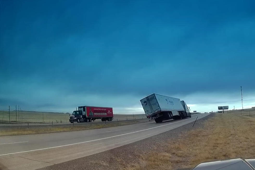
Drivers are encouraged to call 511 or go to wyoroad.info for the latest road closures and advisories.

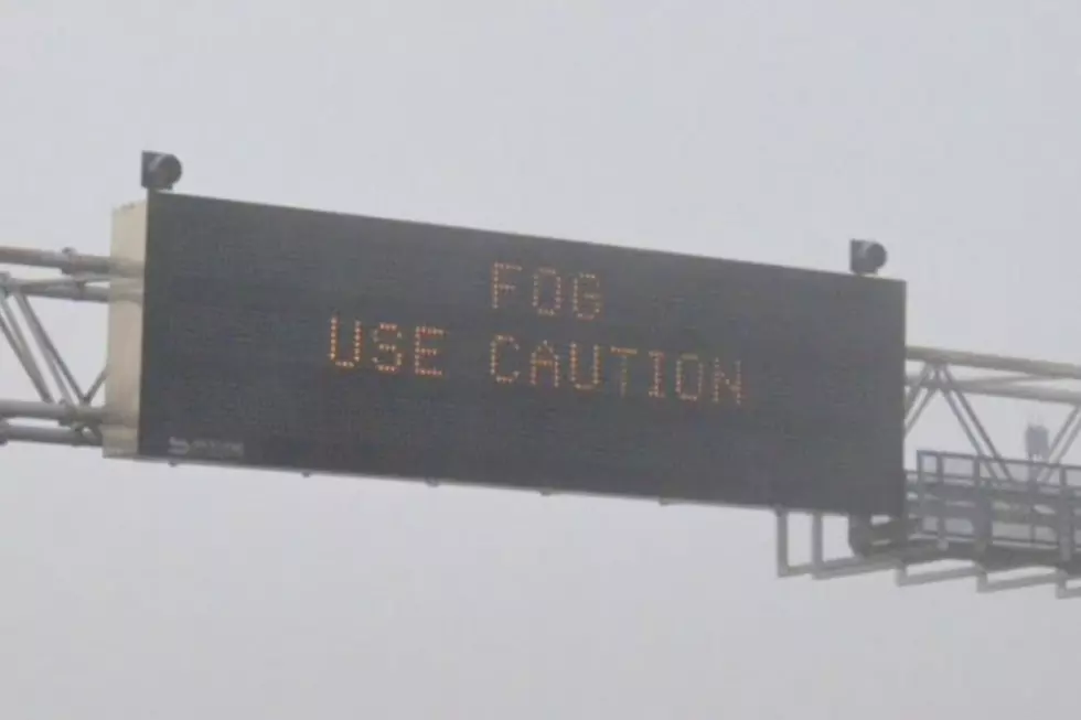
Winter Weather Advisories in effect and a Winter Storm Warning for the I-80 Summit for Thursday. Gusty winds up to 45 mph will also result in reduced visibility and blowing snow.
TIPS: Here's how you can prepare for power outages
LOOK: The most extreme temperatures in the history of every state
Gallery Credit: Anuradha Varanasi
More From KOWB 1290