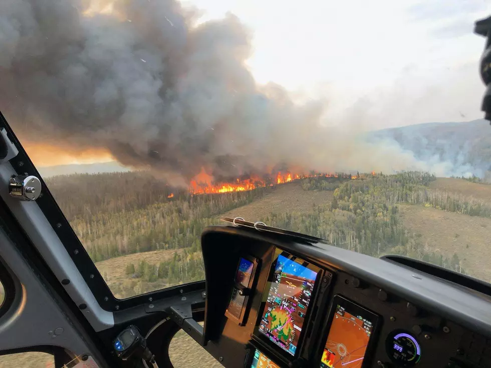
Fire Weather Watch Issued for Portions of Southeast Wyoming, Nebraska Panhandle
The National Weather Service in Cheyenne has issued a Fire Weather Watch for portions of southeast Wyoming and the Nebraska Panhandle.
The watch, which the NWS says will likely be upgraded to a Red Flag Warning over the coming hours, is in effect from noon to 7 p.m. on Wednesday.
URGENT - FIRE WEATHER MESSAGE
National Weather Service Cheyenne WY
223 PM MDT Tue Oct 18 2022

...Fire Weather Watch for Fire Weather Zones 430, 431, 432, 433
and 436 and 437 from Noon to 7pm on Wednesday...


NEZ436-437-WYZ430>433-191100-
/O.NEW.KCYS.FW.A.0021.221019T1800Z-221020T0100Z/
Lower North Platte River Basin/Scottsbluff National Monument-
Lodgepole Creek/Southern Nebraska Panhandle-
Laramie Foothills and High Plains-Laramie East High Plains-
Bordeaux/Chugwater/Wheatland-Goshen/Middle-
Lower North Platte River Basin-
223 PM MDT Tue Oct 18 2022

...FIRE WEATHER WATCH IN EFFECT FROM WEDNESDAY AFTERNOON THROUGH
WEDNESDAY EVENING FOR LOW HUMIDITY AND GUSTY WINDS FOR FIRE
WEATHER ZONES 430, 431, 432, 433, 436, AND 437...

The National Weather Service in Cheyenne has issued a Fire
Weather Watch, which is in effect from Wednesday afternoon
through Wednesday evening.

* AFFECTED AREA...Fire weather zone 436. Fire weather zone 437.
  Fire weather zone 430. Fire weather zone 431. Fire weather zone
  432. Fire weather zone 433.

* WIND...North at 15 to 25 mph with some gusts to 30 mph.

* HUMIDITY...15 to 18 percent.

* HAINES...4 to 5

* THUNDERSTORMS...No thunderstorms are expected.

* IMPACTS...any fires that develop will likely spread rapidly.
  Outdoor burning is not recommended.

PRECAUTIONARY/PREPAREDNESS ACTIONS...

A Fire Weather Watch means that critical fire weather conditions
are forecast to occur. Listen for later forecasts and possible
Red Flag Warnings.
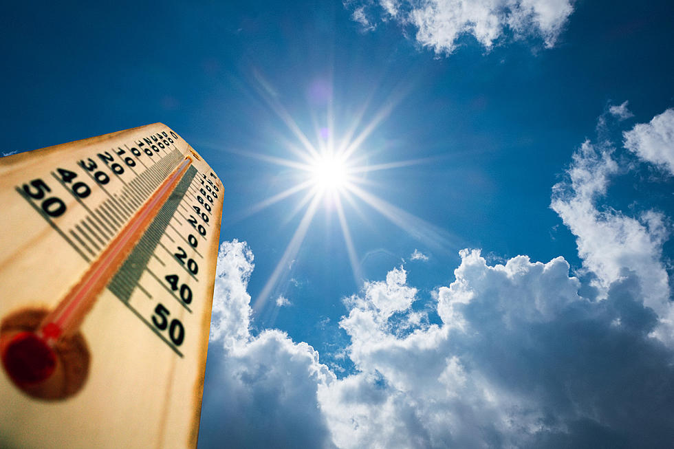
"Gusty north to northwest winds gusting 25 to 30 mph, will combine with very low afternoon humidity, to create critical fire weather conditions in the watched area," the NWS said.
"Please avoid outdoor burning, as any fires that do start may spread rapidly," the NWS added.
The NWS says critical fire weather conditions are expected for the rest of this week as winds become stronger and more widespread.

18/3PM: A Fire Weather Watch has been issued for Wednesday, from Noon to 7 PM across parts of southeast Wyoming and the southern Nebraska Panhandle. Gusty north to northwest winds gusting 25 to 30 mph, will combine with very low afternoon humidity, to create critical fire weather conditions in the watched area. Please avoid outdoor burning, as any fires that do start may spread rapidly. This Watch will likely be upgraded to a Red Flag Warning over the coming hours. Critical fire weather conditions expected each day through Saturday this upcoming week as winds become more stronger and widespread. Stay tuned!
Colorado Cabin For Sale Was Built With Logs from an 1885 Wildfire
Gallery Credit: Kelsey Nistel
More From KOWB 1290