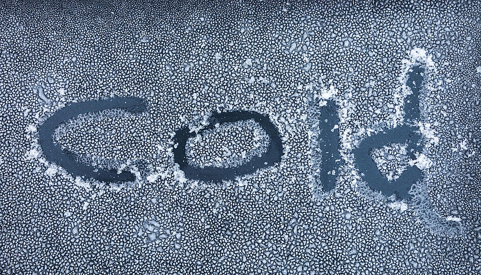
-25 Degree Wind Chills Expected for Cheyenne, Laramie Overnight
Wind chills as low as 25 below zero are expected in Cheyenne and Laramie overnight, according to the National Weather Service in Cheyenne.
Wind Chill Advisories are in effect for much of southeast Wyoming and the Nebraska Panhandle from 11 p.m. tonight through 9 a.m. Friday.


Get our free mobile app
URGENT - WINTER WEATHER MESSAGE
National Weather Service Cheyenne WY
302 PM MST Thu Nov 17 2022

WYZ103-106-181200-
/O.CAN.KCYS.WW.Y.0029.000000T0000Z-221118T1200Z/
/O.CON.KCYS.WC.Y.0009.221118T0600Z-221118T1600Z/
North Laramie Range-
Central Laramie Range and Southwest Platte County-
Including the cities of Garrett, Esterbrook, and Bordeaux
302 PM MST Thu Nov 17 2022

...WIND CHILL ADVISORY REMAINS IN EFFECT FROM 11 PM THIS EVENING
TO 9 AM MST FRIDAY...
...WINTER WEATHER ADVISORY IS CANCELLED...

* WHAT...Very cold wind chills expected. Wind chills as low as 30
  below zero.

* WHERE...North Laramie Range and Central Laramie Range and
  Southwest Platte County.

* WHEN...From 11 PM this evening to 9 AM MST Friday.

* IMPACTS...The cold wind chills as low as 25 degrees below zero
  could cause frostbite on exposed skin in as little as 30
  minutes.

PRECAUTIONARY/PREPAREDNESS ACTIONS...

Use caution while traveling outside. Wear appropriate clothing, a
hat, and gloves.
URGENT - WINTER WEATHER MESSAGE
National Weather Service Cheyenne WY
302 PM MST Thu Nov 17 2022

WYZ117-181200-
/O.CON.KCYS.WW.Y.0029.000000T0000Z-221118T1200Z/
/O.CON.KCYS.WC.Y.0009.221118T0600Z-221118T1600Z/
South Laramie Range Foothills-
Including the cities of Whitaker, Federal, and Horse Creek
302 PM MST Thu Nov 17 2022

...WINTER WEATHER ADVISORY REMAINS IN EFFECT UNTIL 5 AM MST
FRIDAY...
...WIND CHILL ADVISORY REMAINS IN EFFECT FROM 11 PM THIS EVENING
TO 9 AM MST FRIDAY...

* WHAT...For the Winter Weather Advisory, snow. Additional snow
  accumulations of up to two inches. For the Wind Chill
  Advisory, very cold wind chills expected. Wind chills as low
  as 30 below zero.

* WHERE...South Laramie Range Foothills.

* WHEN...For the Winter Weather Advisory...through 5 AM Friday.
  For Windchill Advisory...from 11 PM this evening to 9 AM MST
  Friday.

* IMPACTS...Travel will be very difficult. Falling and blowing
  snow will create very low visibilities. Hikers, hunters and
  snow mobilers could easily become disoriented and lost. The
  cold wind chills as low as 25 degrees below zero could cause
  frostbite on exposed skin in as little as 30 minutes.

PRECAUTIONARY/PREPAREDNESS ACTIONS...

Slow down and use caution while traveling.

Use caution while traveling outside. Wear appropriate clothing, a
hat, and gloves.

The latest road conditions for the state you are calling from can
be obtained by calling 5 1 1.
URGENT - WINTER WEATHER MESSAGE
National Weather Service Cheyenne WY
302 PM MST Thu Nov 17 2022

WYZ115-118-181200-
/O.CON.KCYS.WW.Y.0029.000000T0000Z-221118T1200Z/
/O.CON.KCYS.WC.Y.0009.221118T0600Z-221118T1600Z/
Laramie Valley-Central Laramie County-
Including the cities of Laramie, Bosler, and Cheyenne
302 PM MST Thu Nov 17 2022

...WINTER WEATHER ADVISORY REMAINS IN EFFECT UNTIL 5 AM MST
FRIDAY...
...WIND CHILL ADVISORY REMAINS IN EFFECT FROM 11 PM THIS EVENING
TO 9 AM MST FRIDAY...

* WHAT...For the Winter Weather Advisory, snow. Additional snow
  accumulations of 2 to 3 inches. For the Wind Chill Advisory,
  very cold wind chills expected. Wind chills as low as 25 below
  zero.

* WHERE...Laramie Valley and Central Laramie County.

* WHEN...For the winter weather advisory...through 5 AM Friday.
  For the windchill advisory...from 11 PM this evening to 9 AM
  MST Friday.

* IMPACTS...Travel may be very difficult. Falling and blowing
  snow will create low visibilities. The cold wind chills as low
  as 20 degrees below zero could cause frostbite on exposed skin
  in as little as 30 minutes.

PRECAUTIONARY/PREPAREDNESS ACTIONS...

Slow down and use caution while traveling.

Use caution while traveling outside. Wear appropriate clothing, a
hat, and gloves.

The latest road conditions for the state you are calling from can
be obtained by calling 5 1 1.
URGENT - WINTER WEATHER MESSAGE
National Weather Service Cheyenne WY
302 PM MST Thu Nov 17 2022

NEZ002-003-020-054-055-095-096-WYZ101-102-105-107-108-119-181200-
/O.CON.KCYS.WC.Y.0009.221118T0600Z-221118T1600Z/
Dawes County-Box Butte County-Banner County-Kimball County-
Cheyenne County-Northern Sioux County-Southern Sioux County-
Converse County Lower Elevations-Niobrara County-Shirley Basin-
East Platte County-Goshen County-East Laramie County-
Including the cities of Chadron, Chadron St Park, Alliance,
Hemingford, Harrisburg, Kimball, Sidney, Brownson, Harrison,
Agate, Douglas, Glenrock, Bill, Deer Creek, Lusk, Redbird,
Medicine Bow, Shirley Basin, Wheatland, Guernsey, Torrington,
and Pine Bluffs
302 PM MST Thu Nov 17 2022

...WIND CHILL ADVISORY REMAINS IN EFFECT FROM 11 PM THIS EVENING
TO 9 AM MST FRIDAY...

* WHAT...Very cold wind chills expected. Wind chills as low as
  25 degrees below zero.

* WHERE...The Northern Nebraska Panhandle and East Central
  Wyoming.

* WHEN...From 11 PM this evening to 9 AM MST Friday.

* IMPACTS...The cold wind chills could cause frostbite on
  exposed skin in as little as 30 minutes.

PRECAUTIONARY/PREPAREDNESS ACTIONS...

Use caution while traveling outside. Wear appropriate clothing, a
hat, and gloves.
URGENT - WINTER WEATHER MESSAGE
National Weather Service Cheyenne WY
302 PM MST Thu Nov 17 2022

WYZ116-181200-
/O.CON.KCYS.WS.W.0010.000000T0000Z-221118T1200Z/
/O.CON.KCYS.WC.Y.0009.221118T0600Z-221118T1600Z/
South Laramie Range-
Including the cities of Buford, Pumpkin Vine, and Vedauwoo
302 PM MST Thu Nov 17 2022

...WINTER STORM WARNING REMAINS IN EFFECT UNTIL 5 AM MST FRIDAY...
...WIND CHILL ADVISORY REMAINS IN EFFECT FROM 11 PM THIS EVENING
TO 9 AM MST FRIDAY...

* WHAT...For the Winter Storm Warning, heavy snow. Additional
  snow accumulations of 1 to 3 inches. For the Wind Chill
  Advisory, very cold wind chills expected. Wind chills as low
  as 30 below zero.

* WHERE...South Laramie Range.

* WHEN...From 11 PM this evening to 9 AM MST Friday.

* IMPACTS...Travel will be very difficult. Falling and blowing
  snow will create very low visibilities. Hikers, hunters and
  snow mobilers could easily become disoriented and lost. The
  cold wind chills as low as 25 degrees below zero could cause
  frostbite on exposed skin in as little as 30 minutes.

PRECAUTIONARY/PREPAREDNESS ACTIONS...

If you must travel, keep an extra flashlight, food, and water in
your vehicle in case of an emergency.

Use caution while traveling outside. Wear appropriate clothing, a
hat, and gloves.

The latest road conditions for the state you are calling from can
be obtained by calling 5 1 1.
LOOK: The most extreme temperatures in the history of every state
Stacker consulted 2021 data from the NOAA's State Climate Extremes Committee (SCEC) to illustrate the hottest and coldest temperatures ever recorded in each state. Each slide also reveals the all-time highest 24-hour precipitation record and all-time highest 24-hour snowfall.
Keep reading to find out individual state records in alphabetical order.
Gallery Credit: Anuradha Varanasi
More From KOWB 1290