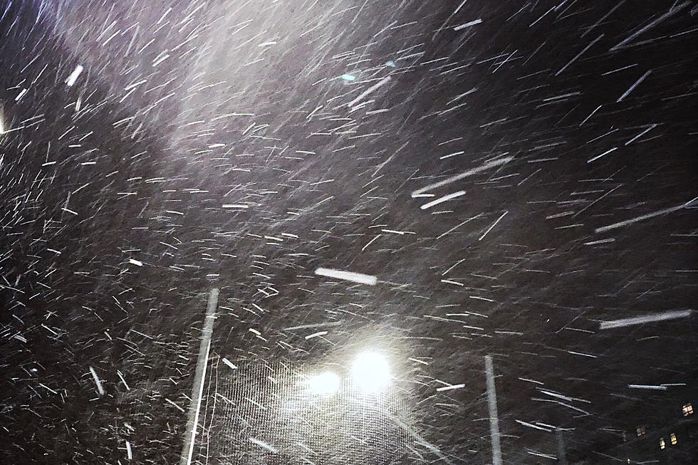
The Cheyenne Office of the National Weather Service has issued wind chill watches and warnings for much of southeast Wyoming.

The agency says wind chills of as low as -50 are possible.

As of Thursday morning, Cheyenne was under a wind chill watch, with wind chills -35 possible on Friday night. Actual temperatures in Cheyenne were forecast at -15 on Friday night and -16 on Saturday and Sunday evenings.

Laramie was just outside of the watch/warning area. but that me be subject to change

Laramie was just outside

The weather service posted the following on its website:

''Bitter cold temperatures will arrive by Friday, and will be here to stay over the weekend! This cold air outbreak will be the coldest temperatures we have seen for the winter season so far. Wind Chill Warnings and Watches have been issued beginning 5pm Friday. Additional areas may be included in a future forecast update. Dangerous wind chills will be as cold as -30F to potentially -50F! For more info please go to: weather.gov/cys''

Cheyenne and Laramie Weather Forecasts

Cheyenne Forecast:

Today
A 40 percent chance of snow showers, mainly before 11am. Cloudy, then gradually becoming mostly sunny, with a high near 13. Wind chill values between -5 and -10. North wind 10 to 15 mph.
Tonight
Partly cloudy, with a temperature rising to around 9 by 5am. Wind chill values between -10 and -15. Breezy, with a west wind 5 to 10 mph increasing to 15 to 20 mph after midnight. Winds could gust as high as 30 mph.
Friday
A 30 percent chance of snow showers after 11am. Partly sunny, with a high near 24. Wind chill values between -10 and zero. Windy, with a west northwest wind 20 to 30 mph, with gusts as high as 40 mph.
Friday Night
A 50 percent chance of snow showers. Patchy blowing snow before 11pm. Mostly cloudy, with a low around -15. Wind chill values between -25 and -35. Blustery, with a north wind 15 to 20 mph.
Saturday
A 40 percent chance of snow showers. Partly sunny and cold, with a high near 1. North wind around 10 mph.
Saturday Night
A 50 percent chance of snow showers. Mostly cloudy, with a low around -15.
Sunday
A 50 percent chance of snow showers. Mostly cloudy and cold, with a high near -1.
Sunday Night
A chance of snow showers. Mostly cloudy, with a low around -16.
M.L.King Day
A chance of snow showers, mainly before 11am. Mostly sunny and cold, with a high near 10.
Monday Night
A slight chance of snow showers before 11pm. Partly cloudy, with a low around -4. Blustery.
Tuesday
Mostly sunny, with a high near 31. Blustery.
Tuesday Night
Partly cloudy, with a low around 14. Breezy.
Wednesday
Mostly sunny, with a high near 38. Breezy.
Laramie Forecast:
Today
A 40 percent chance of snow showers, mainly before 11am. Partly sunny, with a high near 11. Wind chill values between -5 and -10. North northwest wind 10 to 15 mph.
Tonight
A chance of flurries after 11pm. Patchy blowing snow after 5am. Partly cloudy, with a temperature falling to near -2 by 9pm, then rising to around 4 during the remainder of the night. Wind chill values between -15 and -20. Breezy, with a west wind 5 to 10 mph increasing to 15 to 20 mph after midnight.
Friday
A 40 percent chance of snow showers. Widespread blowing snow, mainly after 5pm. Mostly cloudy, with a high near 18. Wind chill values between -5 and -15. Windy, with a west wind 15 to 25 mph increasing to 25 to 35 mph in the afternoon. Winds could gust as high as 50 mph.
Friday Night
A 50 percent chance of snow showers. Areas of blowing snow before 7pm. Mostly cloudy, with a low around -8. Wind chill values between -15 and -25. West northwest wind 5 to 15 mph.
Saturday
A 40 percent chance of snow showers. Patchy blowing snow between 9am and 4pm. Partly sunny, with a high near 17. Breezy, with a west wind 15 to 25 mph, with gusts as high as 35 mph.
Saturday Night
A 50 percent chance of snow showers. Mostly cloudy, with a low around -10.
Sunday
Snow showers likely, mainly before 11am. Mostly cloudy and cold, with a high near 7. Chance of precipitation is 60%.
Sunday Night
Snow showers likely, mainly before 11pm. Mostly cloudy, with a low around -17.
M.L.King Day
A chance of snow showers, mainly before 11am. Partly sunny and cold, with a high near 10.
Monday Night
A slight chance of snow showers before 11pm. Partly cloudy, with a low around -7.
Tuesday
Mostly sunny, with a high near 28. Breezy.
Tuesday Night
Partly cloudy, with a low around 14. Breezy.
Wednesday
Partly sunny, with a high near 35. Breezy.

Backroad Up The Bighorns

There are many ways to explore the Bighorn Mountain.

Not all of the backroads are dangerous.

Some are of good quality, and have the best views you'll ever see.

Gallery Credit: Glenn Woods