
Early Winter Storm Will Create Wyoming Travel Issues
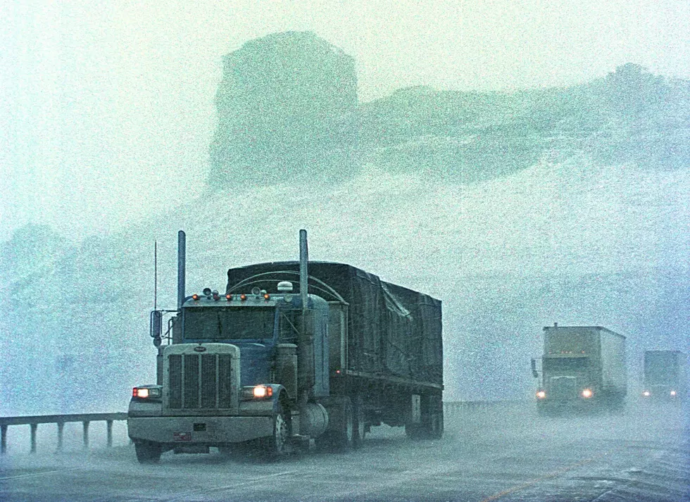
The predicted early winter storm that is forecast to sweep over Wyoming late Wednesday and through Thursday. Rain changing to snow combined with strong winds will make traveling difficult.
The storm is expected to be strongest in the north and central parts of the state. Travel on I-25, I-90, and I-80 are expected to be difficult, if not impossible Thursday.
WYDOT says that the quickly falling temps and rain/snow could cause ice to form on roads, especially bridges, exit ramps, and in passes. Visibility will also be an issue with blowing snow. (More details in the video posted below)

Get our free mobile app
More From KOWB 1290


