Cheyenne NWS: “Major Travel Impacts Possible” With Winter Storm Next Week
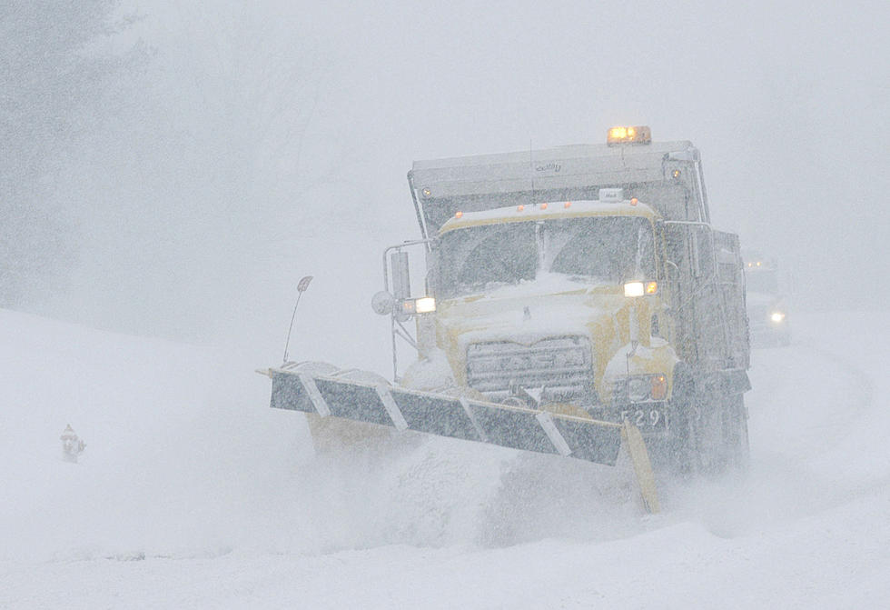
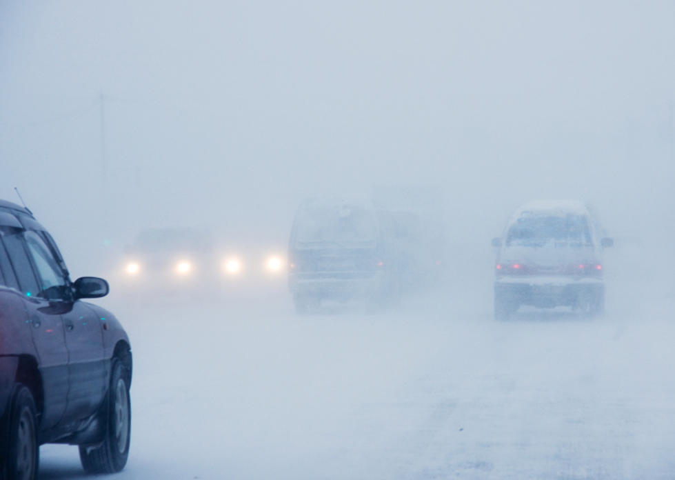
The Cheyenne Office of the National Weather Service says the first major winter storm of the fall/winter season may hit southeast Wyoming and the Nebraska Panhandle early next week.
The agency posted the following statement late Thursday evening:
'' Here's a look at the forecast for southeast Wyoming and Nebraska Panhandle through the weekend into next week. Unsettled weather Saturday as a cold front moves into the area. Look for widespread rain showers for most area, especially along and west of the Laramie Range. This system moves through Saturday evening, for a return of dry weather Sunday. A much stronger and colder low pressure system begins to impact the area Monday afternoon/evening as rain showers return to Carbon County and spreads east through the overnight hours. Chances for heavy snow and travel impacts ramp up Tuesday, as that low continues to slowly move east. Tuesday night into Wednesday, there is the possibility of significant winter weather for most areas. Heavy snow and strong winds may be widespread during this time with significant travel impacts. Stay tuned to later updates on this developing winter storm system as we get closer to the event.''
A Look Back At Cheyenne's Worst October Snow Storms
More From KOWB 1290