Areas east of the Laramie Range and into the Nebraska Panhandle could see record-high temperatures Tuesday, but the warm weather won't be sticking around.
Above-average temperatures are set to return to southeast Wyoming and the Nebraska Panhandle by week's end, the National Weather Service in Cheyenne says.
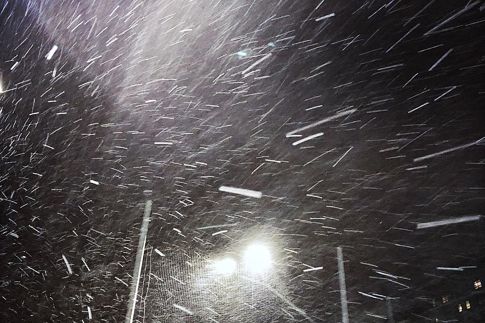
Blizzard Warnings are in effect through 6 p.m. Tuesday for portions of southeast Wyoming and the northern Nebraska Panhandle, where up to two feet of snow could fall.
Most of southeast Wyoming and the Nebraska Panhandle can expect to see moderate to heavy snow early next week, as a potent winter storm is forecast to wallop the region.