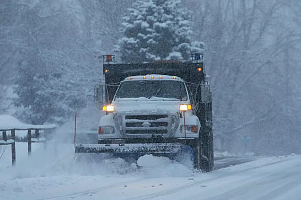
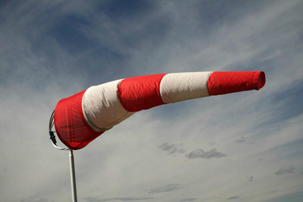
Winter Weather Advisory Announced For Laramie Valley
With heavy spring snow expected to slam the surrounding mountains, a Winter Weather Advisory has been issued for the Laramie Valley.
The National Weather Service office in Cheyenne released the news of the Winter Weather Advisory early Wednesday morning with impacts for the City of Laramie, the surrounding valley, and eastern Laramie Range foothills. It takes effect at 9 p.m. Wednesday and continues through midday Thursday.
Here’s the alert:
URGENT - WINTER WEATHER MESSAGE
National Weather Service Cheyenne WY
120 AM MDT Wed May 2, 2018
...SIGNIFICANT SNOWFALL FOR ELEVATIONS ABOVE 7500 FEET WEDNESDAY
THROUGH THURSDAY MORNING...
WYZ115-117-030000-
/O.NEW.KCYS.WW.Y.0029.180503T0300Z-180503T1800Z/
Laramie Valley-South Laramie Range Foothills-
Including the cities of Bosler, Laramie, Whitaker, Federal,
and Horse Creek
120 AM MDT Wed May 2, 2018
...WINTER WEATHER ADVISORY IN EFFECT FROM 9 PM THIS EVENING TO
NOON MDT THURSDAY...
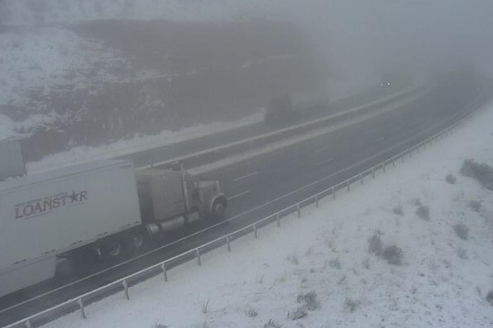
* WHAT...Wet snow expected. Total wet snow accumulations of 3 to 5
inches, with localized amounts up to 7 inches, are expected.
* WHERE...Eastern Laramie Range foothills and Laramie Valley.
* WHEN...From 9 PM this evening to noon MDT Thursday.
* ADDITIONAL DETAILS...Plan on slippery road conditions,
including during the morning commute on Thursday. Expect reduced
visibilities at times.
PRECAUTIONARY/PREPAREDNESS ACTIONS...
A Winter Weather Advisory for wet snow means periods of wet snow
will cause primarily travel difficulties. Expect snow covered
roads and limited visibilities, and use caution while driving.
The latest road conditions for the state you are calling from can
be obtained by calling 5-1-1.
More From KOWB 1290


![Jake Chick Picked to Lead Laramie Plainsmen Football [VIDEO]](http://townsquare.media/site/106/files/2024/04/attachment-Jake-Chick-Laramie-Football-Coach-2024.jpg?w=980&q=75)
![Is Seven a Lucky Number for Laramie Boys’ Swimming? [VIDEO]](http://townsquare.media/site/420/files/2020/12/Boys-State-Swim-Meet-2020.jpg?w=980&q=75)