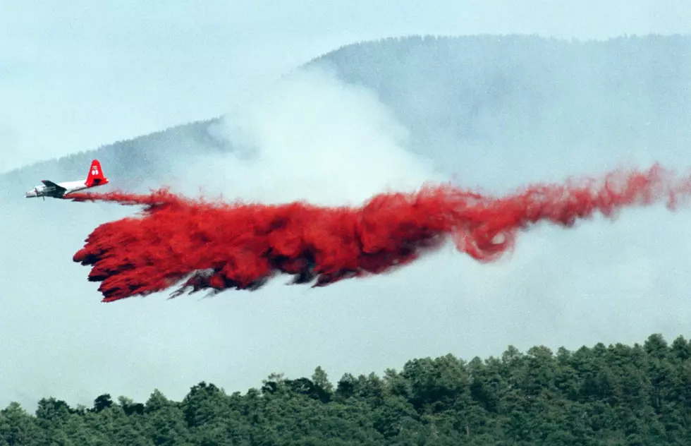
Red Flag Warning Issued for Laramie, Much of Wyoming
Fire danger is high today, and officials are warning residents to refrain from outdoor burning as critical fire conditions will persist throughout the day for much of southeast Wyoming and the northern Nebraska Panhandle.
The National Weather Service's red flag warning, in effect from 10 a.m. to 8 p.m., warns of widespread gusty winds, low humidities and the possibility of isolated showers and thunderstorms that likely won't bring much precipitation.
According to the warning issued early Monday, humidity is expected to range from 8-15 percent throughout the affected area. Sustained southwest winds of 15-20 mph are expected to gust to 25-35 mph.
Monday's high temperatures will land in the 80s and 90s for the valleys, and the high country will see highs in the 70s.
Combined, those conditions can help a fire spread rapidly.
Improved weather is forecast for Tuesday, when a cold front is predicted to push southeast across the warning area, bringing cooler temperatures and breezy northwesterly winds.
More From KOWB 1290